
The Gambia Is So Thin It Was Drawn Around a River by Two Colonial Powers
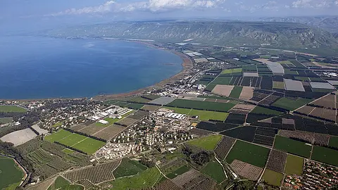
The Gambia, the smallest country in mainland Africa, is a narrow strip of land stretching 480 kilometers inland but only about 50 kilometers wide — because in 1889, Britain and France simply agreed to draw its borders along the banks of the Gambia River, roughly 10 miles on each side.
More detail
The Gambia's bizarre shape on the map — a thin worm cutting through the middle of Senegal and reaching toward the Atlantic — is not an accident of geography but a deliberate colonial agreement. In the 19th century, Britain controlled trading posts along the Gambia River while France dominated the surrounding territory. To avoid conflict, the two powers signed the 1889 Anglo-French Convention, which established The Gambia's borders as a strip roughly 10 miles on either side of the river, for its entire navigable length. The result is a country that follows a single waterway for nearly 300 miles and never grows wider than 30 miles at any point. This shape has had real practical consequences ever since. For decades, crossing from northern to southern Gambia required a ferry, and waits of several hours were routine. A bridge connecting the two sides was only completed in 2019. Because Senegal completely surrounds the country on three sides, The Gambia depends heavily on its neighbor for trade routes, fuel, and supplies. It remains the smallest country in mainland Africa, covering just 4,361 square miles — smaller than the US state of Connecticut.


Comments 0
No comments yet. Be the first!
Sign in to leave a comment.